 Easy
Easy Morata de Tajuña Route - Carabaña
Morata de Tajuña, Comunidad de MadridMorata de Tajuña Route - Carabaña
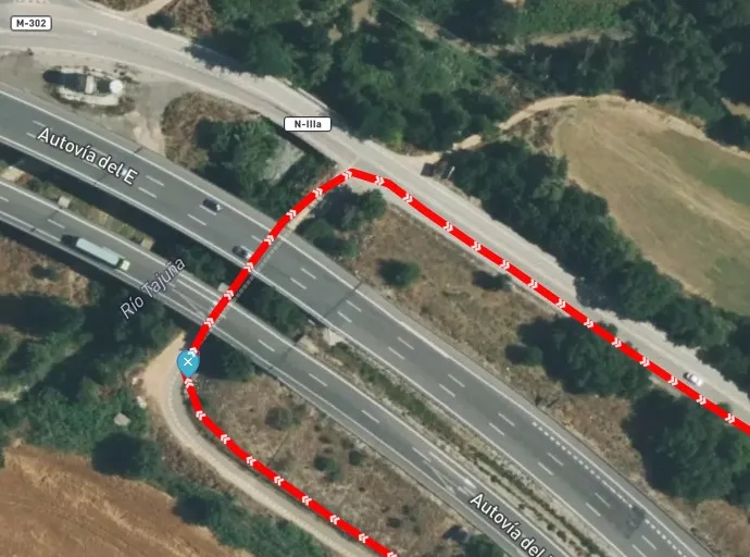
Morata de Tajuña · Comunidad de Madrid 46.5km Distance
2h 45min Duration
679m Max altitude
e-Bike Type
Easy The Madrid region of Las Vegas has been a territory of railways. The first narrow gauge line in the history of Madrid was built in 1886 between the Niño Jesús station, in the center of the capital, and the town of Arganda. In 1901 the trains reached Morata de Tajuña and in 1921 the railway reached Alocén, in Guadalajara, in a project to connect with the central line of Aragón in Caminreal (Teruel).
The Arganda Train is the well-known Tajuña Greenway, conditioned in the year 1999 between Arganda and Ambite, it was the first Greenway built in the Community of Madrid and served as a claim and expansion of active tourism in the region.
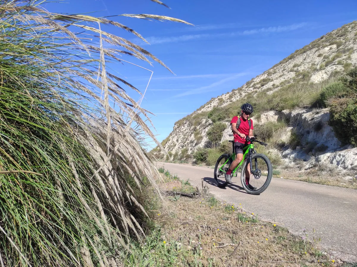
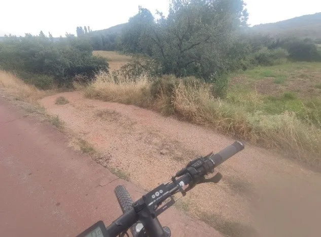
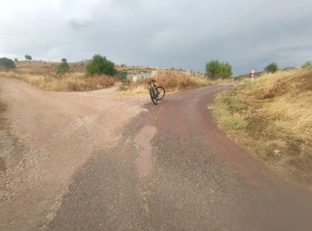
The cycling route starts from Morata de Tajuña and follows a stretch of the Tajuña Greenway through the magnificent scenery of the Risco de las Cuevas, a wall of gullies and gypsum walls with remnants of primitive rock dwellings.
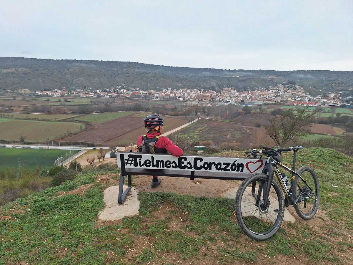
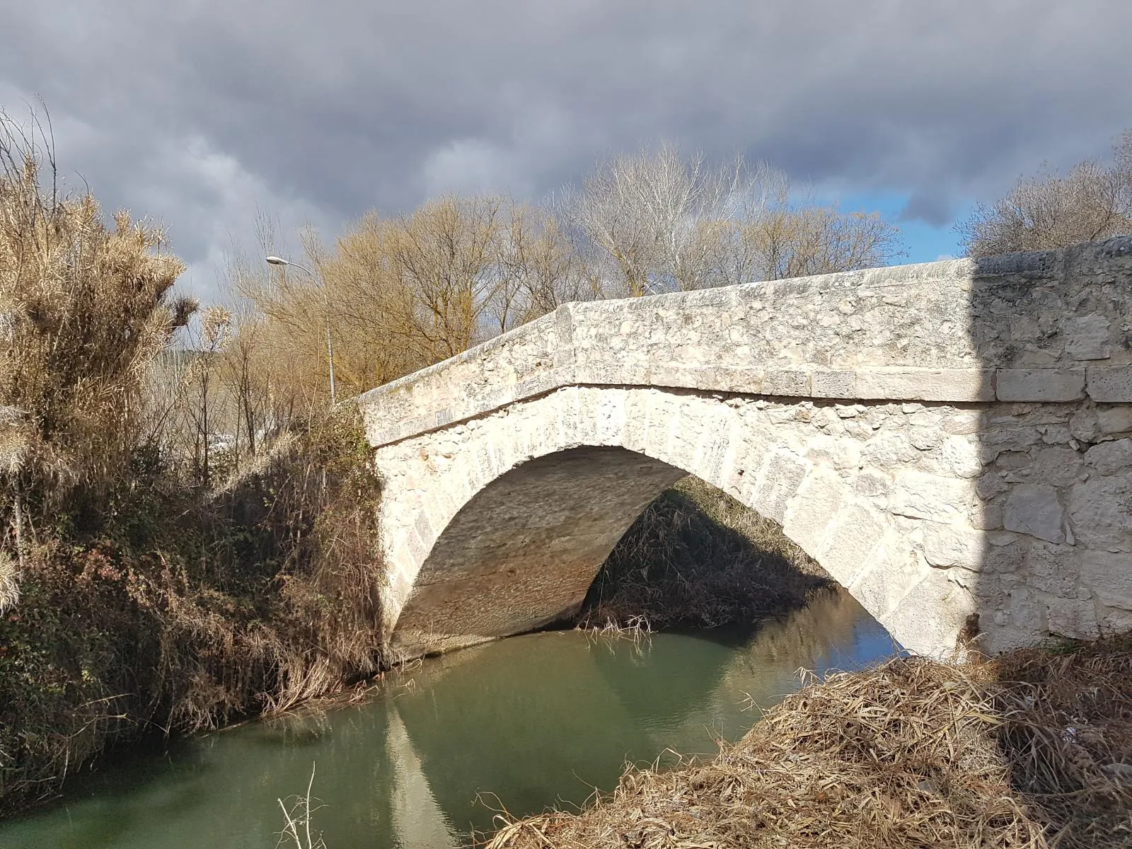
The route runs along the impeccable pavement of the Greenway through the valley of gardens and fruit trees, passing through municipalities such as Perales de Tajuña and Tielmes, up to Carabaña. The streets of this municipality are outside the route, on the other side of the Tajuña river, it is one of the oldest populations in the Community of Madrid and to enter you have to cross the Tajuña bridge, of Roman origin and reconstructed in the 18th century.
Types of path
Mapa interactivo proporcionado por
Wikiloc open_in_newMoments captured by our community.
Discover unique places to stop and enjoy.
 place Otro
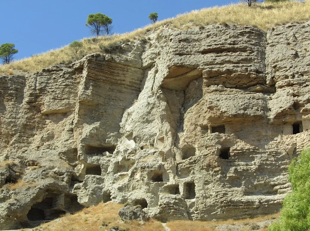
 The caves of Perales de Tajuña are a window in time, from the first Carpetani inhabitants to the present day they represent the different pastoral and agricultural cultures that have populated the Tajuña valley. The current state shows the natural wear of a hillside of marls and gypsum that is brittle and easy to erode. In the time of the Carpetani, it was a troglodyte settlement with interior passages that connected different galleries, they had water channels, storage rooms, and homes at a certain height above the ground, accessed by means of stairs and ropes.
 place Otro
 The "azudes" are original from the Arab period, improving the previous irrigation systems of the Romans. The "great" Muslim river dams allowed increasing the flow of the ditches and was the beginning of extensive agriculture in the Tajuña valley. The Azud de Vaciabotas is known as the "waterfall of Tajuña," it is the water intake of the Caz del Molino of the Tajuña river, it is also known as Azud del Molino because it is next to the old Molino Nuevo or Molino de la Isla, privately owned, documented in the Topographical Relations of Philip II.
 place Otro
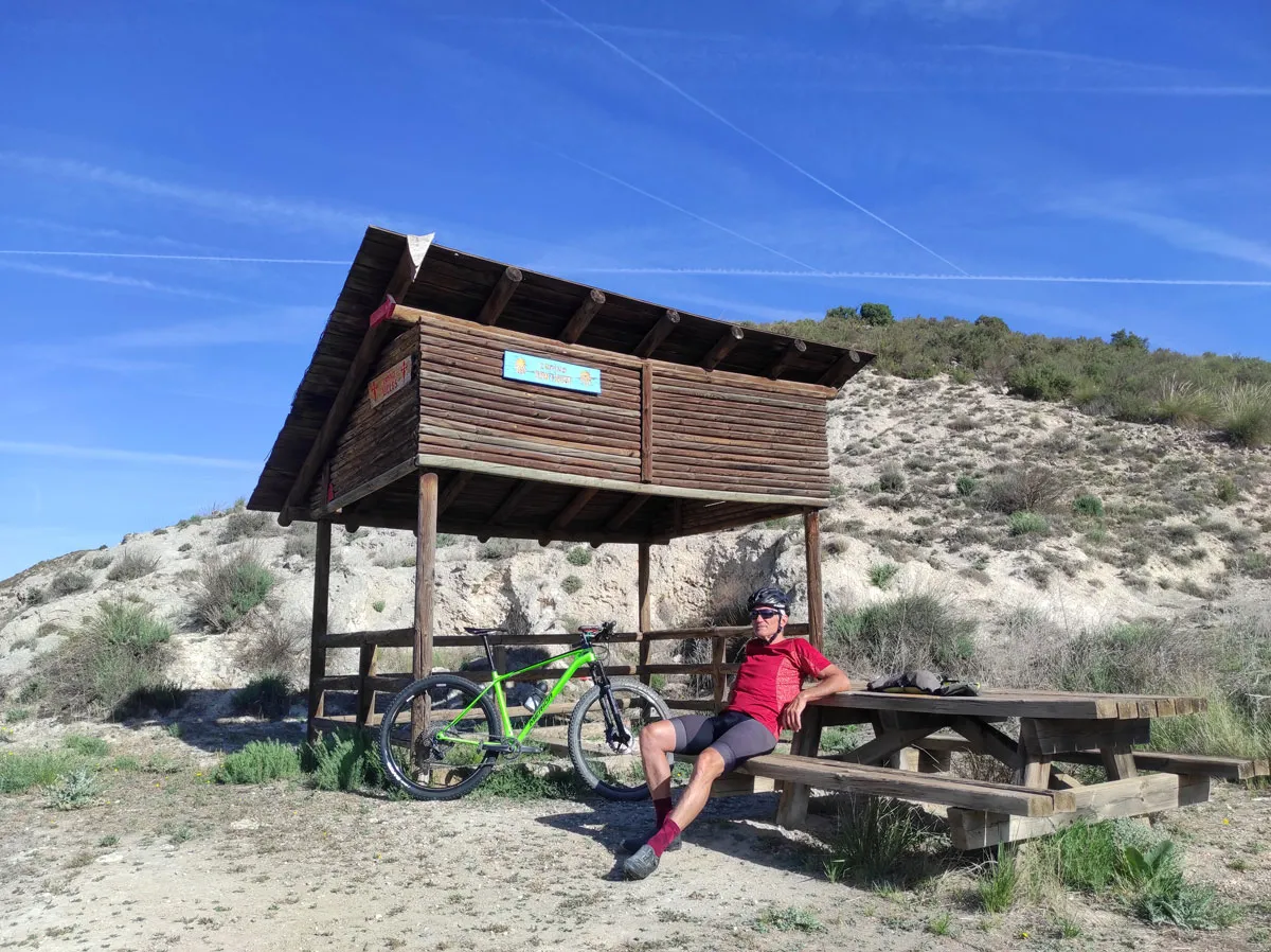
 Carabaña is one of the oldest towns in the Community of Madrid. The cycling route runs along the Greenway of Tajuña through a pleasant tree-lined path with a rest area and passes by the neoclassical bridge over the Tajuña River; numerous sources claim that the river crossing is of Roman origin and has undergone several reconstructions over time. The most significant rehabilitation was in the 18th century with limestone blocks in a setting of elms, giant poplars, and riverside vegetation that forms a true forest wall along the riverbanks.
 place Otro
 The Train of 40 Days or Negrín Route was built in record time during the Civil War to supply the republican troops defending the city of Madrid on the Jarama front and other areas of the capital from the peninsular Levante. The railway works were completed in the last weeks of the war and barely served as a supply route for troops and war material for "40 days." At the end of the conflict, the railway fell into decline and was abandoned, leaving a curious milestone in the history of Spanish railways for active tourism uses.
 place Otro
 Point of interest extracted from the route file