 Easy
Easy Santa Quiteria Route - Gúdar
Gúdar, AragónSanta Quiteria Route - Gúdar
Gúdar · Aragón 16.7km Distance
1h 10min Duration
1740m Max altitude
e-Bike Type
Easy Mountain bike route, with a distance of 16.6 km, that takes us from the town of Gúdar to the hermitage of Santa Quiteria, located in the beautiful Valley of Motorritas.
We set off heading east, along the road that leads to Valdelinares, to climb towards the antennas installed on the high point. As soon as we start to ascend, we find the first sign indicating that we have 6 km to the hermitage, following the PR-TE 29.
We should take these first meters calmly, as they run along a cobbled path with a steep slope. From the vicinity of the antennas, we can enjoy beautiful views of Gúdar and the surroundings.
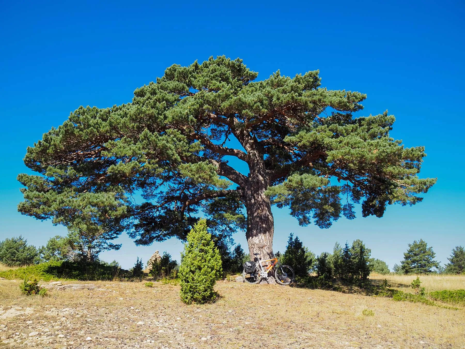
At 1.2 km from the start, the slope begins to ease and we reach the highest point of the route (1740 m above sea level). We continue on much more favorable and relaxed terrain than at the beginning, until we reach the Pine Lentejas (3.14 km from the start). It is a large specimen of laricio pine, which is well worth a photo for the memory.
From here we begin a steep descent of 1.3 km, until we reach a junction, which we take to the left, to enter the Valley of Motorritas. A few meters from the junction, the PR-TE 29 joins the GR 199, corresponding to the Cultural Park of the Cabecero Poplar of Alto Alfambra.
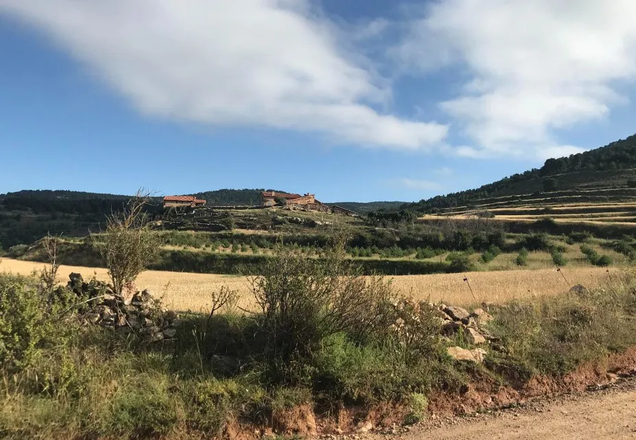
The valley is filled with farmhouses (de los Charcos, de Izquierdo, etc.) and pens, with beautiful dry stone constructions, where it is worth stopping for a good while to enjoy the tranquility and the passing of a few herds of cows. Next to the hermitage, we have several tables with benches, where we can settle for a while.
From here, we return along the path we came until the junction, which this time we take to the left, to take a track that will take us down to the A-228 road. Here we will turn right, to return to Gúdar, now by road.
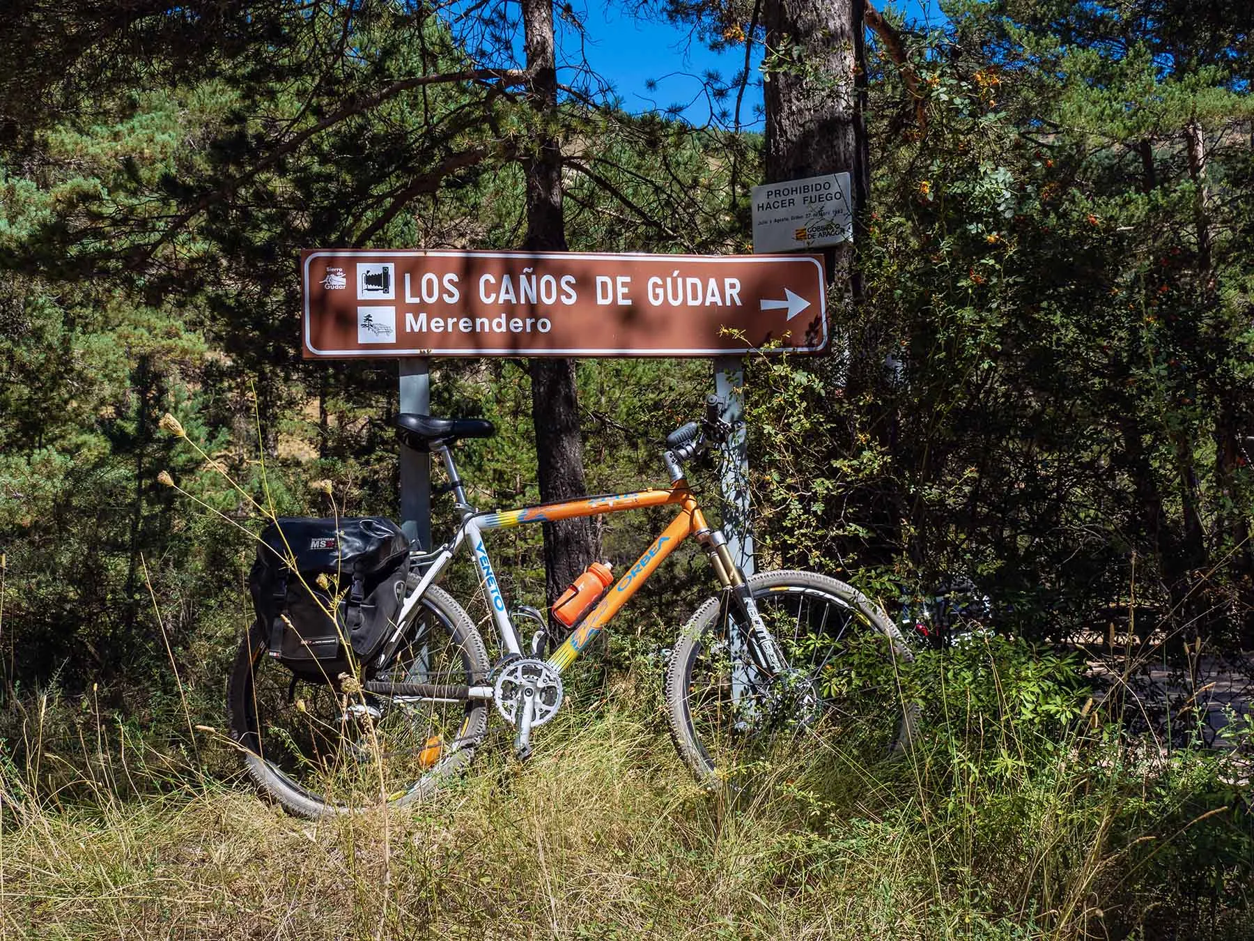
We take the opportunity on the way back to pass by the picnic area of los Caños de Gúdar, where a highly recommended walking route begins, which runs alongside the crystal-clear waters of the Alfambra River.
We will only have to complete the last ascent of 150 meters of elevation in less than 3 km.
A route always above 1400 m above sea level, that runs through a very beautiful environment, with many attractions to enjoy and take as a memory in our camera.
Mapa interactivo proporcionado por
Wikiloc open_in_newMoments captured by our community.
Discover unique places to stop and enjoy.
 place Otro
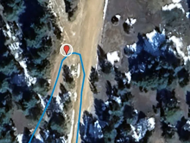
 At this point on the route, the indicator signs of the PR-TE 29 appear, official signage of Pequeño.
 place Otro
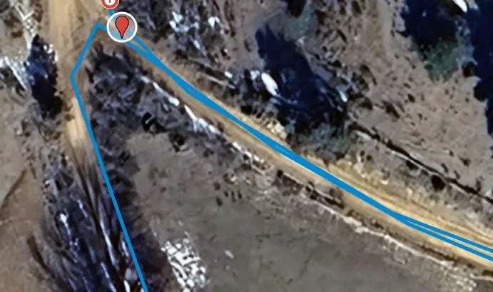
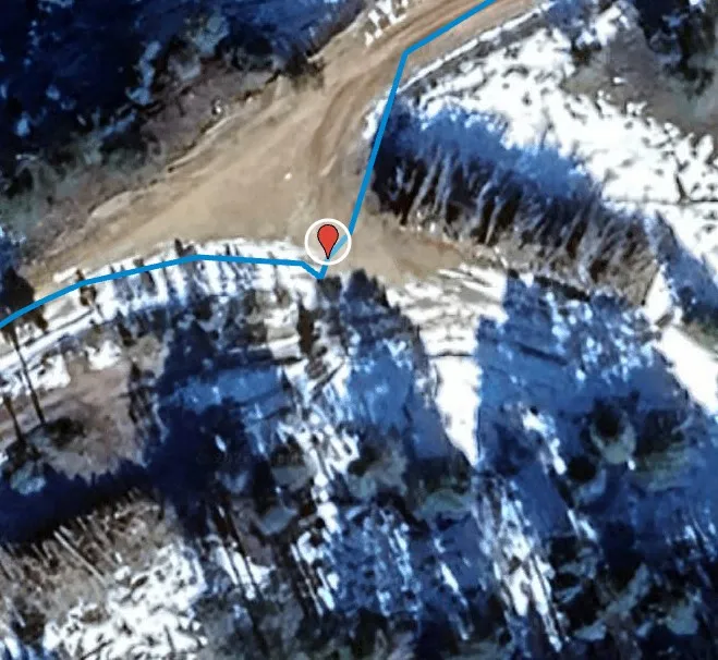
 Turn right
 place Otro
 Left turn
 place Otro
 At this point, the route diverges to the right towards the Caños de Gúdar, one of the most pleasant and frequented areas of the surroundings.
 place Otro
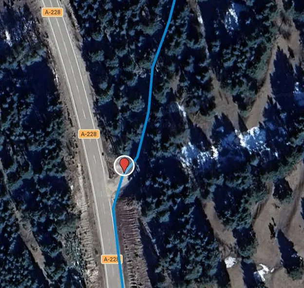
 Right turn. Shared section with motorized traffic
 forest Naturaleza
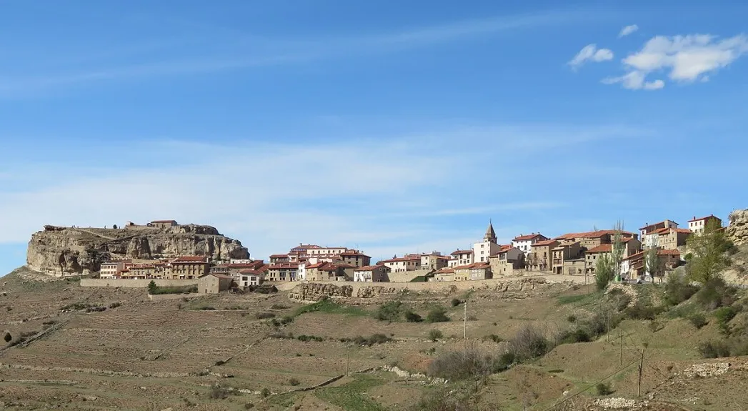
 At this point, the route offers a wide panoramic view of Gúdar, one of those moments when it is worth stopping the bicycle and simply contemplating.
At this point, the route coincides with two approved itineraries: the PR-TE 29 (white and yellow markers) and the GR 199 (white and red markers). This confluence of trails indicates that we are traversing a well-structured section within the network of paths of the Gúdar mountains, in the region of Gúdar-Javalambre.
 place Otro
 Turn right
At this point, the path reaches a small viewpoint equipped with a bench, a simple place but perfectly located to stop and contemplate the landscape.
 forest Naturaleza
 After the panoramic view, the route continues following the white and yellow marks of the PR-TE 29, fully entering the Gúdar mountain range.
 place Otro
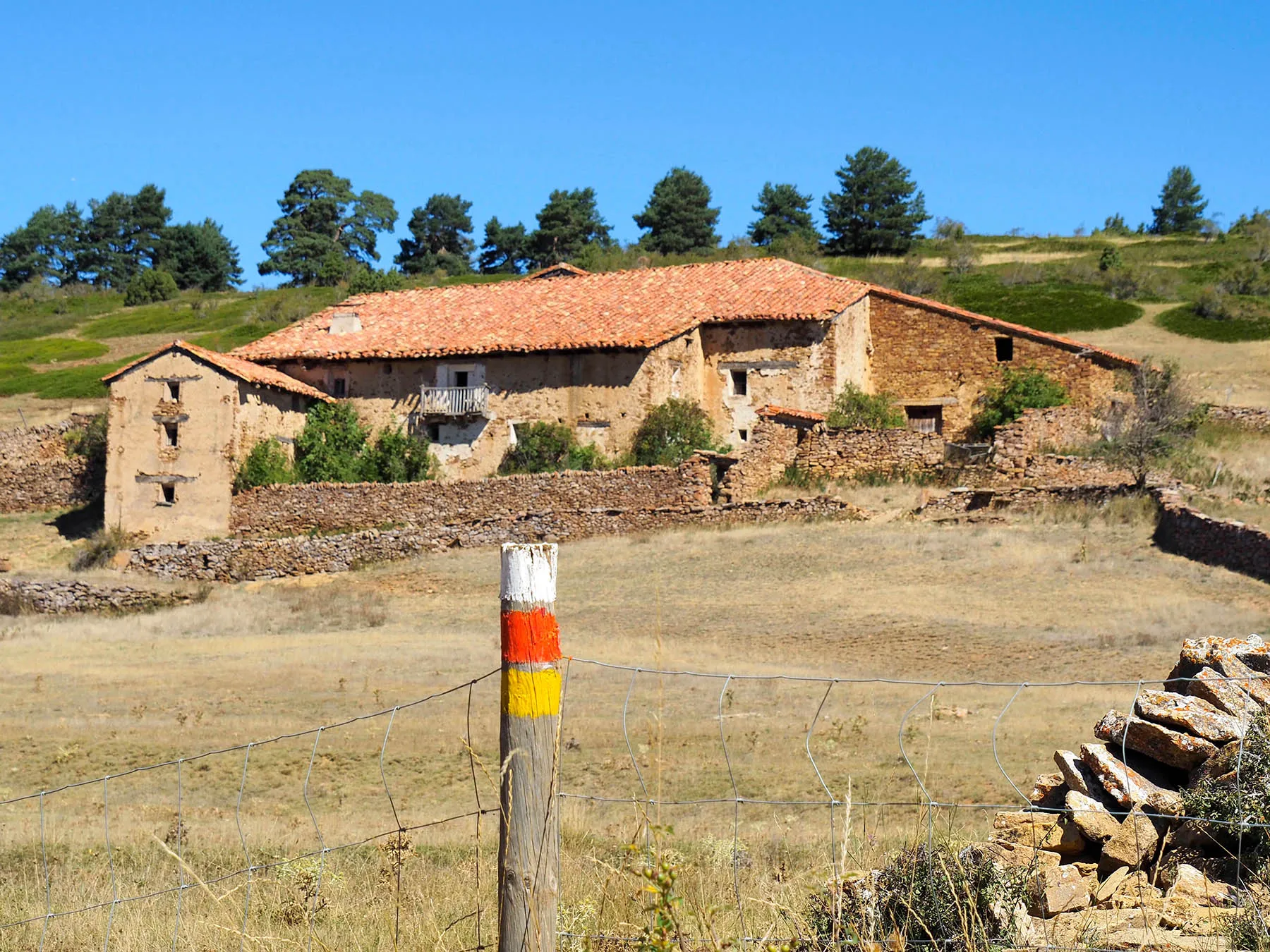
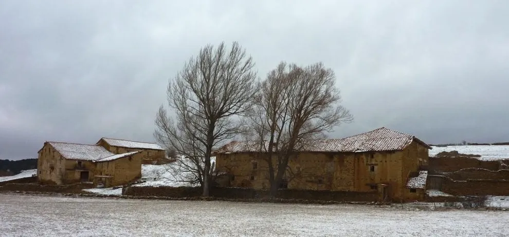
 The Masías de los Charcos are a clear example of traditional rural architecture of the Gúdar mountains. These isolated constructions, built of stone and adapted to the terrain, were for centuries centers of agricultural and livestock life.
 castle Edificio
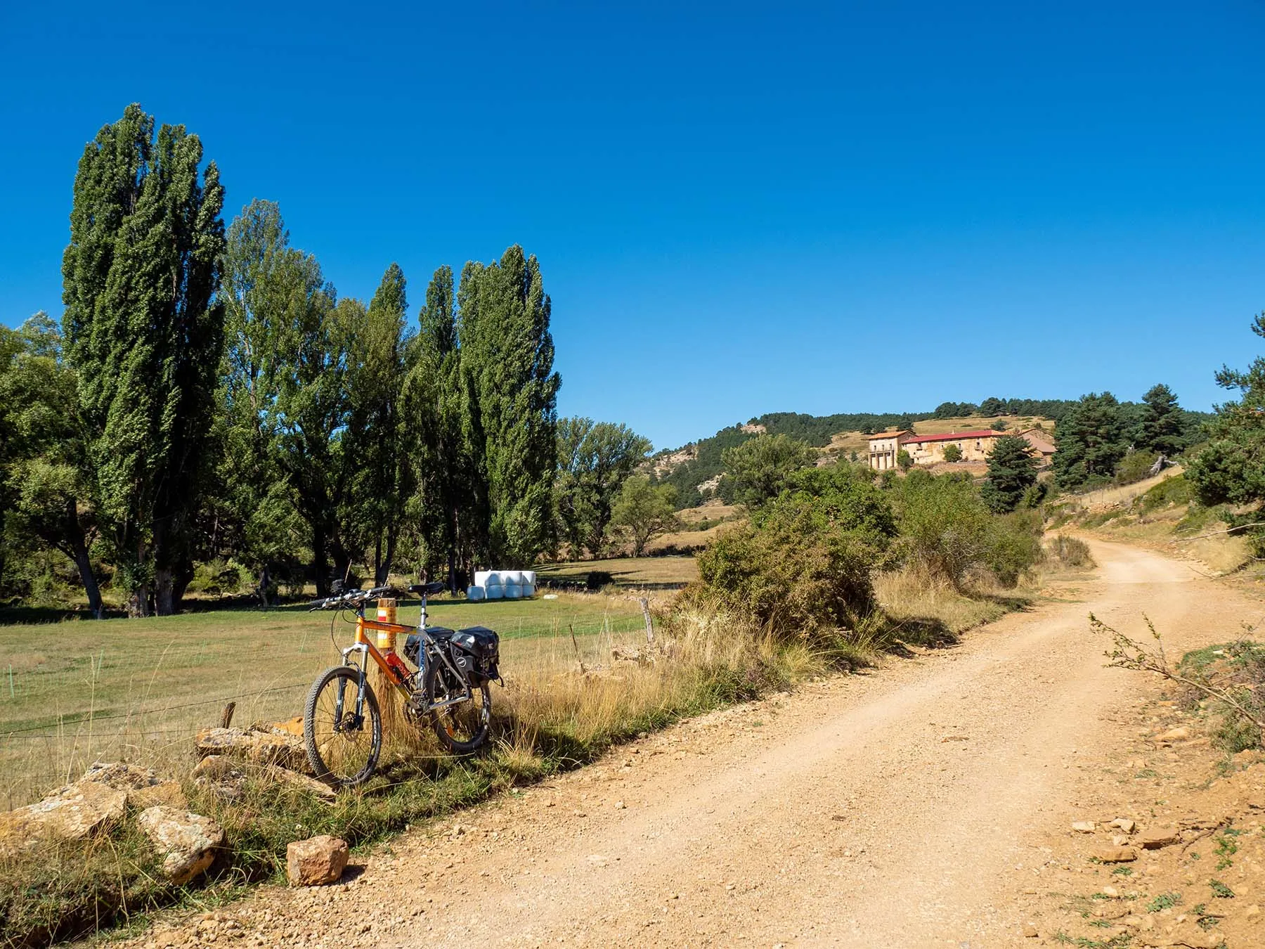
 The Masía de la Huesa is one of those enclaves that evoke traditional rural life in the Gúdar mountains. Built of stone and perfectly integrated into the landscape, this farmhouse was part of the agricultural and livestock framework that shaped the territory for generations.
 forest Naturaleza
 The Lentil Pine is one of the unique trees in the Gúdar area, a specimen of large stature that stands out for its size and presence in the mountains.
 castle Edificio
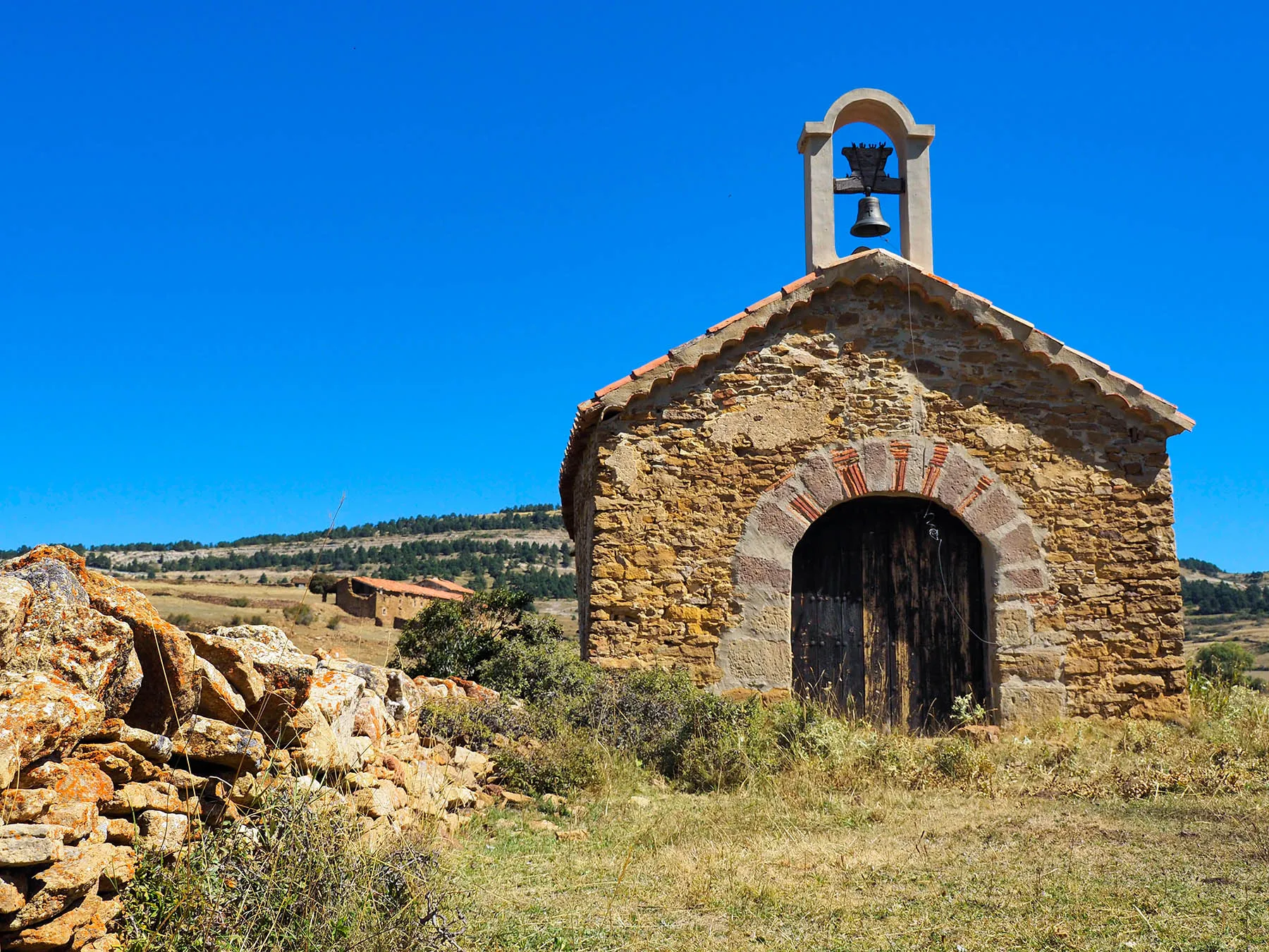
 The Hermitage of Saint Quiteria is one of the most symbolic sites in the surroundings of Gúdar. Located in an open natural setting, surrounded by pine forest and mountain landscape, this small temple reflects the simple spirituality deeply connected to the rural life of the region of Gúdar-Javalambre.
 place Otro
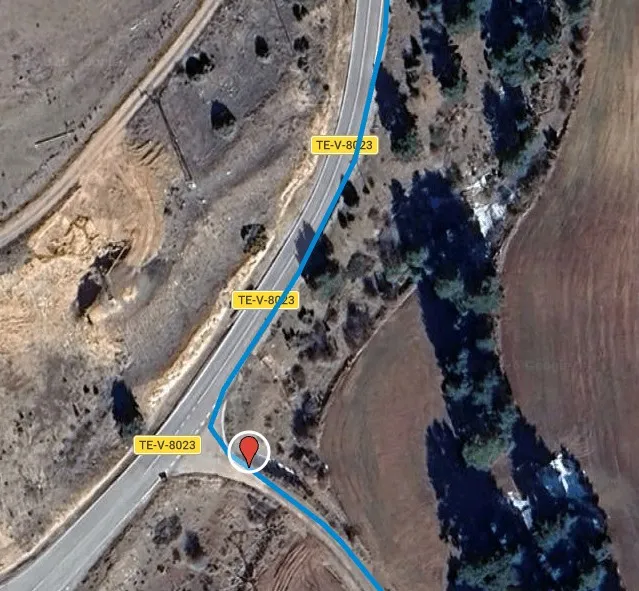
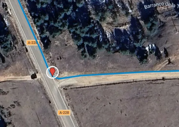
 At this point, the route turns right to join the A-228 road, a regional road that connects various municipalities of the Gúdar mountains, within the Gúdar-Javalambre region. Important notice – section shared with motorized traffic:
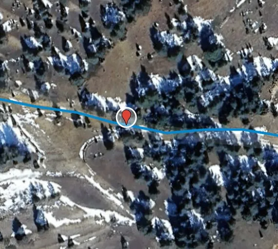
place Otro Left turn