 Hard
Hard Peñarroya Route
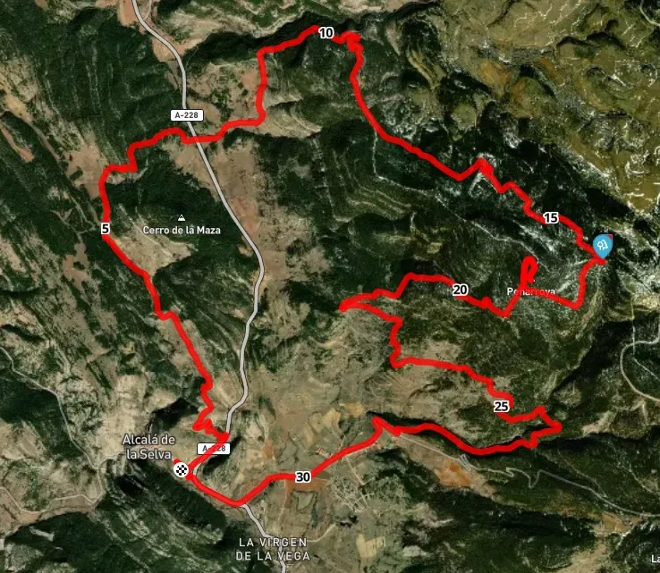
Alcalá de la Selva, AragónPeñarroya Route
Alcalá de la Selva · Aragón 32.2km Distance
3h Duration
2021m Max altitude
e-Bike Type
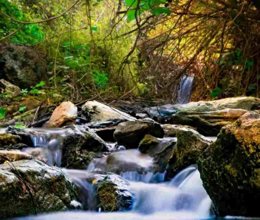
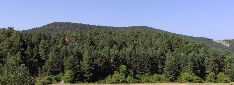
Hard Challenging but spectacular mountain route that ascends from Alcalá de la Selva to the Pico Peñarroya (2,028 m), the highest peak in the province of Teruel. The itinerary traverses forest tracks and paths through scots pine, common juniper, and high-altitude meadows, crossing changing landscapes and pasture areas.
During the ascent, wide panoramas of the Alcalá River valley and the mountains of the Sierra de Gúdar can be enjoyed, and upon reaching the summit, the view extends to the Javalambre and Maestrazgo sierras.
It is an ideal route for cyclists accustomed to medium mountains, with a very complete journey in both effort and natural beauty.
Type of paths:
Mapa interactivo proporcionado por
Wikiloc open_in_newMoments captured by our community.
Discover unique places to stop and enjoy.
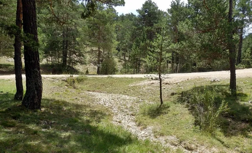
 forest Naturaleza
 Natural step between mountains covered with Scots pine, with views towards the valley and the heights of La Atalayuela and Peñarroya. Landmark point on the routes of the mountain range.