 Moderate
 Collado de la Imagen and Atalayuela Route
Alcalá de la Selva, AragónCollado de la Imagen and Atalayuela Route
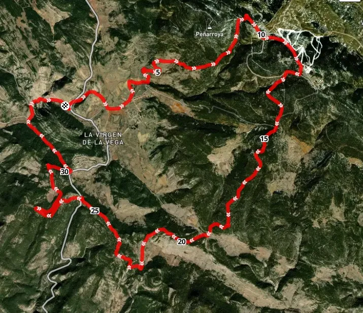
Alcalá de la Selva · Aragón 34.3km Distance
2h 30min Duration
1972m Max altitude
e-Bike Type
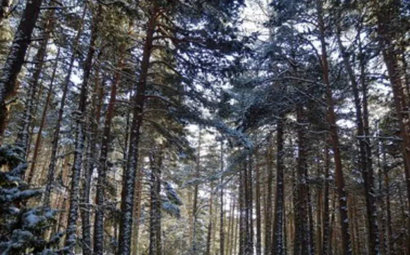
Moderate A circular route through the most genuine landscapes of the Sierra de Gúdar, combining pine forests, high mountain meadows, and spectacular panoramas.
The route gently ascends from the vicinity of Alcalá de la Selva to the Collado de la Imagen, a strategic point with wide views of the Alcalá River valley. From there, it continues towards la Atalayuela, a hill that offers a natural viewpoint over the forests and mountains surrounding the area.
During the journey, one can enjoy contrasts of vegetation, passages alongside ancient livestock paths, and grazing areas, as well as possible sightings of wildlife such as roe deer or raptors.
Types of paths:
Mapa interactivo proporcionado por
Wikiloc open_in_newMoments captured by our community.
Discover unique places to stop and enjoy.
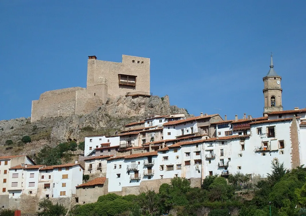 castle Edificio
 It is also known as Castle of the Heredia. Cultural Heritage of Aragon It has Muslim origins. It is documented in 1118, when King Alfonso I of Aragon granted it to Lope Juan de Tarazona. In 1174-1175 the Christian reconquest handed it over to the French abbey of the Abbey of the Great Forest.