 Easy
Easy High route of Hornillo, Cold Pass and Valdelinares Port
Valdelinares, AragónHigh route of Hornillo, Cold Pass and Valdelinares Port
Valdelinares · Aragón 13.7km Distance
52min Duration
1998m Max altitude
e-Bike Type
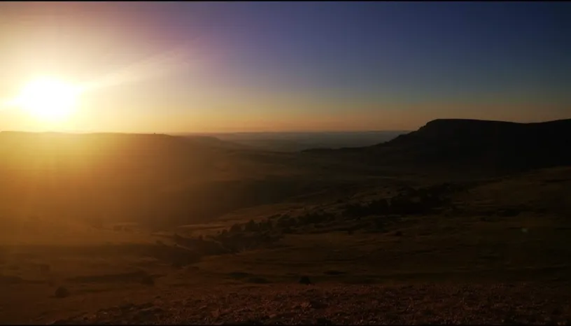
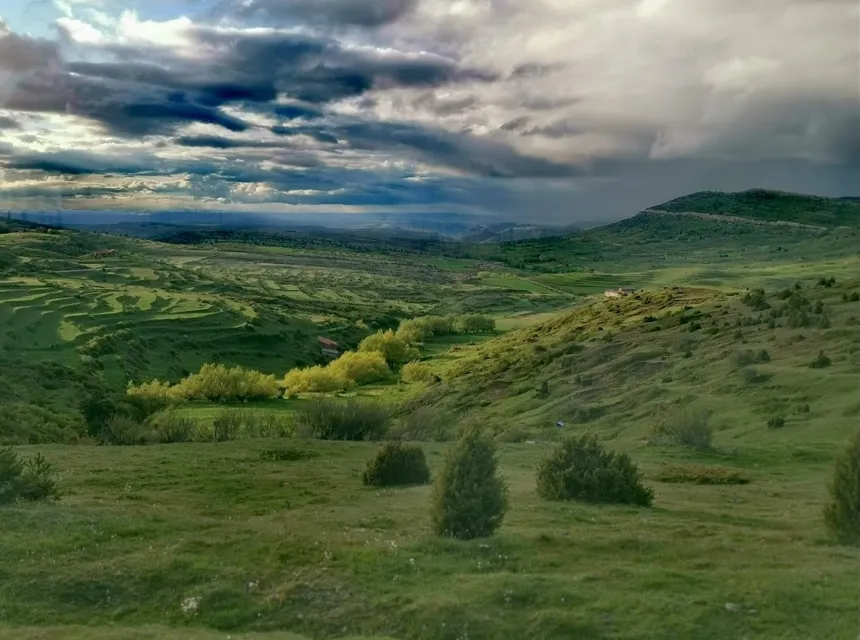
Easy Circular itinerary that traverses the highest part of the Sierra de Gúdar, reaching almost 2,000 meters in altitude. The route combines forest tracks and paths that cross black pine forests and high pastures, offering wide panoramas towards the Valdelinares valley and the neighboring sierras.
Along the route, several natural viewpoints and areas of scenic interest are visited, such as Alto del Hornillo, Recuenco, or Cuarto del Prado, spaces where the observation of birds of prey and mountain fauna is common.
Route of medium difficulty, with no technical sections, recommended on clear days to fully enjoy the views of the Gudar environment.
Types of path:
Mapa interactivo proporcionado por
Wikiloc open_in_newMoments captured by our community.

Discover unique places to stop and enjoy.
 forest Naturaleza
 Zone of green pastures where many raptors also usually go hunting.
 place Otro
 Mountain pass located at 1,800 meters above sea level, connecting the slopes of the Sollavientos valley with the high area of the Sierra de Gúdar. From this point, wide views are obtained towards the Peñagolosa massif and the crests of Alcalá de la Selva. The environment combines high pastures and open pine forests, with a regular presence of livestock and soaring birds. It constitutes an emblematic place to understand the orographic structure of the mountain range and the harsh climate that characterizes these heights.
 forest Naturaleza
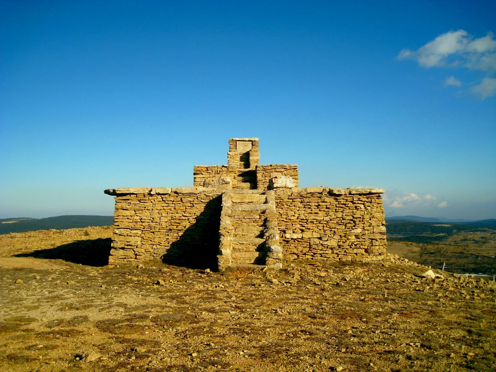
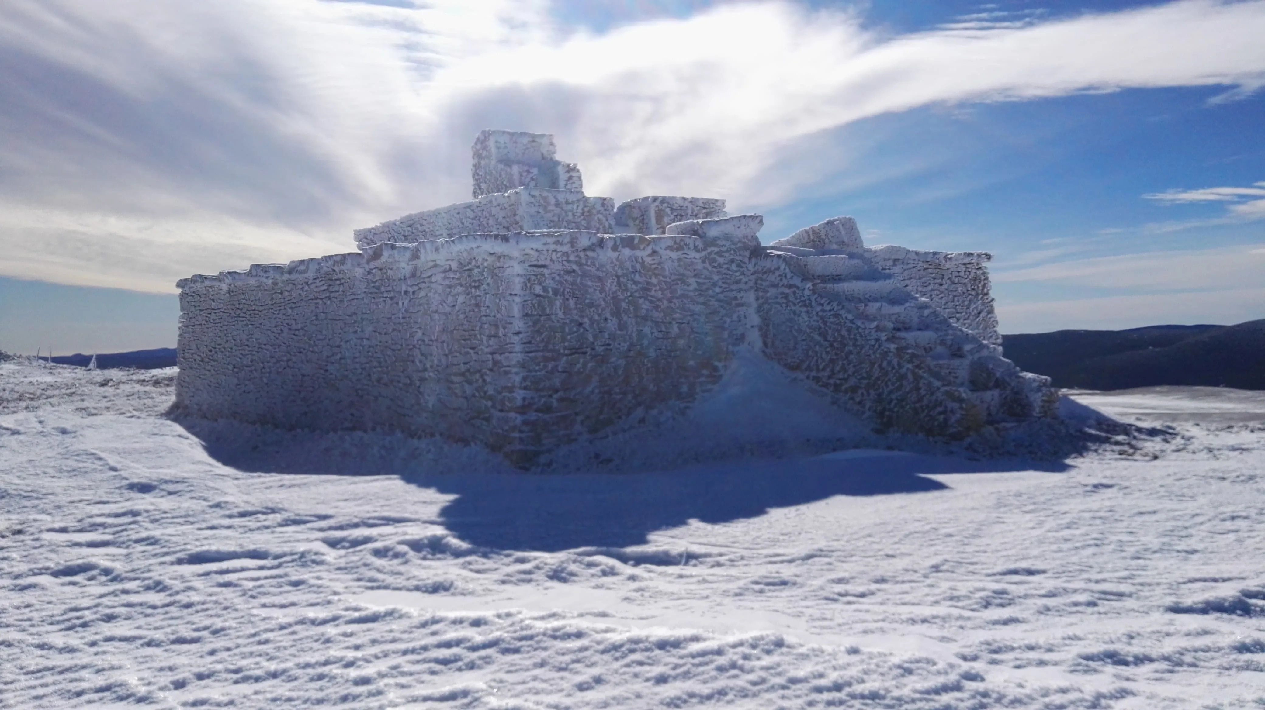
 Stone throne at 2002 meters high with 360 degrees of vision where you will feel like a king controlling your domains.
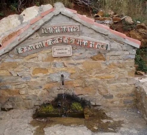 water_drop Agua
 Previously called the Menistras, next to the Road leading up to the Ski Slopes.