Turicleta
Route 11 The Madrid Highlands - Pozuelo del Rey
Moderate

Route 11 The Madrid Highlands - Pozuelo del Rey

Municipio Turicleta, Castilla-La Mancha
52.4km Distance
4h Duration
812m Max altitude
e-Bike Type

About this route

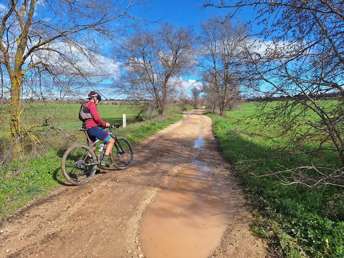
Warning: shared space with motor vehicles.

The Arabs named the large plains of the central peninsula suitable for cultivation and grazing herds alcarras, surrounded by valleys nestled between steep slopes, an accurate description that has endured over time in the territories that are part of the Alcarreñas regions in the provinces of Madrid, Guadalajara, and Cuenca. And there is nothing better than cycling through a landscape by bicycle to understand the geological nature and the environmental whims, creating unique reliefs where towns have found different ways and styles of inhabiting. The route “The Madrid Plateau” is a tribute to this particular geomorphological composition, named fifteen hundred years ago, and that takes on particular prominence in the agricultural alcarrias of Villar del Olmo, Valdilecha, Campo Real, Loeches, Pozuelo del Rey, and Nuevo Baztán, some of the municipalities that this route traverses.

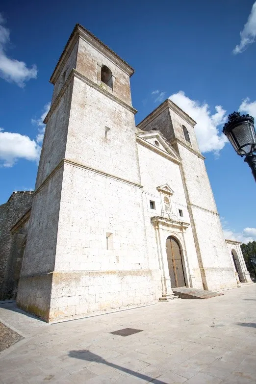
The character of “The Madrid Plateau” is intense at the passage through the geodetic vertex Lebreles (800 m) and culminates at the natural balcony of the Hermitage of Santa Bárbara, at the entrance of Campo Real, where the Guadarrama mountain range appears in the background behind the large depression that houses the city of Madrid. And in the foreground are the streets of Campo Real around the Church of Our Lady of the Castle, creating a completely dominant and spectacular panorama. The cycling itinerary departs from Pozuelo del Rey, linking with the Cordel de la Galiana to approach the monuments of Nuevo Baztán and the white village of Olmeda de las Fuentes.

touch_app
Toca para interactuar Usa dos dedos para hacer scroll

Mapa interactivo proporcionado por

Wikiloc open_in_new

Route gallery

Moments captured by our community.

Route 11 The Madrid Highlands - Pozuelo del Rey - Image 1
Featured Route 11 The Madrid Highlands - Pozuelo del Rey
Route 11 The Madrid Highlands - Pozuelo del Rey - Image 2
Route 11 The Madrid Highlands - Pozuelo del Rey
Route 11 The Madrid Highlands - Pozuelo del Rey - Image 3
Route 11 The Madrid Highlands - Pozuelo del Rey
add_a_photo View 2 more

Points of interest on the route

Discover unique places to stop and enjoy.

Parish Church of Santa María del Castillo castle Edificio

Parish Church of Santa María del Castillo

Declared a Historical Artistic Monument in 1981, this impressive construction can be seen from kilometers away, and its privileged location on a cliff overlooking the village makes it seem, depending on the place from which we observe it, that it is levitating over the fields. With a mix of Gothic, Renaissance, and Baroque styles, its origin is due to a castle-hospital of the Hospitaller Order. The earliest bibliographic references that are preserved of the church are relatively recent, appearing mentioned in the Topographical Relations of Philip II, where it is noted that the temple was "formerly a castle," as well as that it had "a brick-paved cistern where all the water that fell from the roofs was collected." For its construction, the remains of the Hispano-Arab castle that stood in this place were used, a relationship between the temple and the castle that was confirmed after the findings that appeared in 1976.

The Madrid high plateau forest Naturaleza

The Madrid high plateau

The geodetic vertex of Lebreles (798 m) is the highest point of the extensive moors of Valdilecha and Campo Real, a huge plain with all the character and naturalness of the Madrid alcarrias. The plateau is a field of endless crops, decades ago it was studied to install the airport of the city of Madrid, now it is crisscrossed by parcel paths and ancient livestock routes ideal for cycling between towns and landscapes. Spring and autumn are good times for the observation of steppe birds.