Turicleta
Charcas de Marrache Route, Pozo las Nieves
Moderate

Charcas de Marrache Route, Pozo las Nieves

Municipio Turicleta, Castilla-La Mancha
28.0km Distance
2h Duration
878m Max altitude
e-Bike Type

About this route

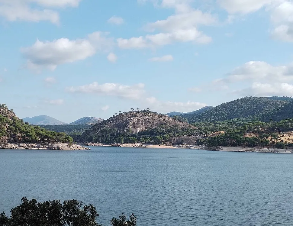
This circular route starts from San Martín de Valdeiglesias and delves into a little-known but highly attractive natural environment, where water and granite rock are the main features. The route combines forest tracks, rural paths, and low-traffic sections, ideal for enjoying the landscape in peace.

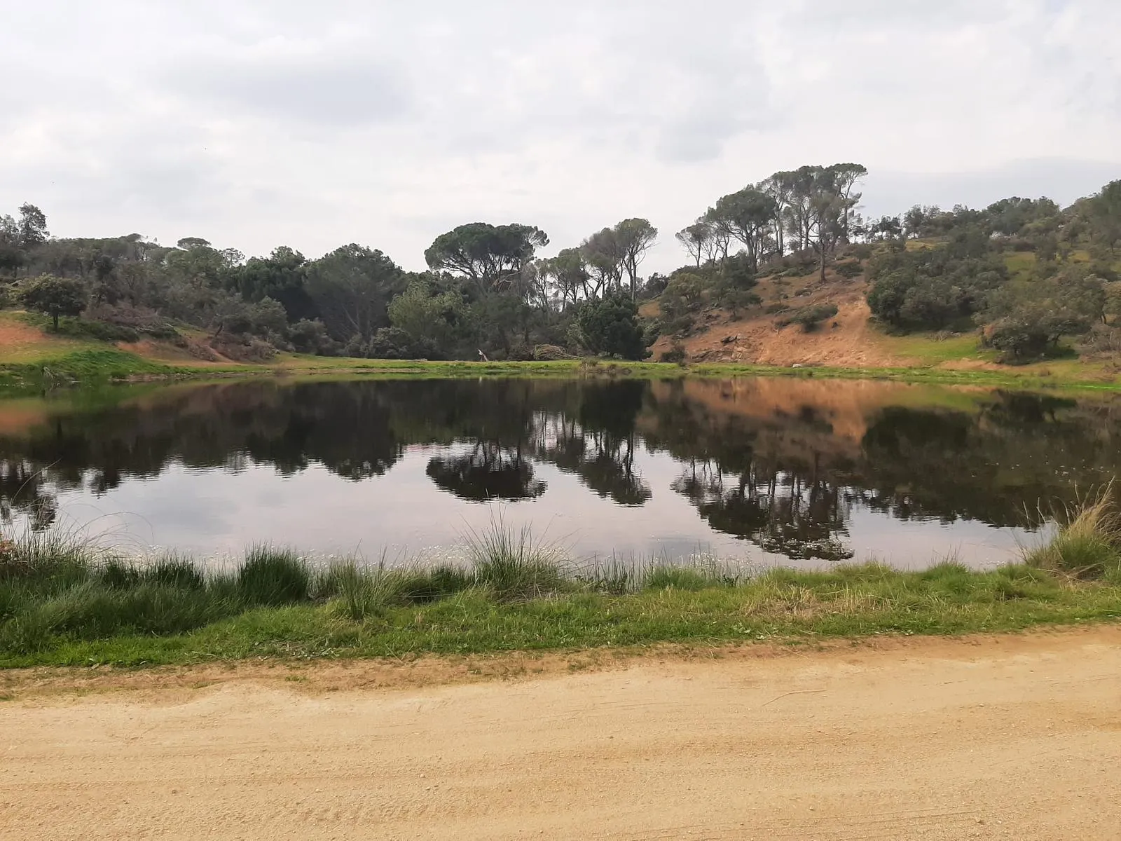
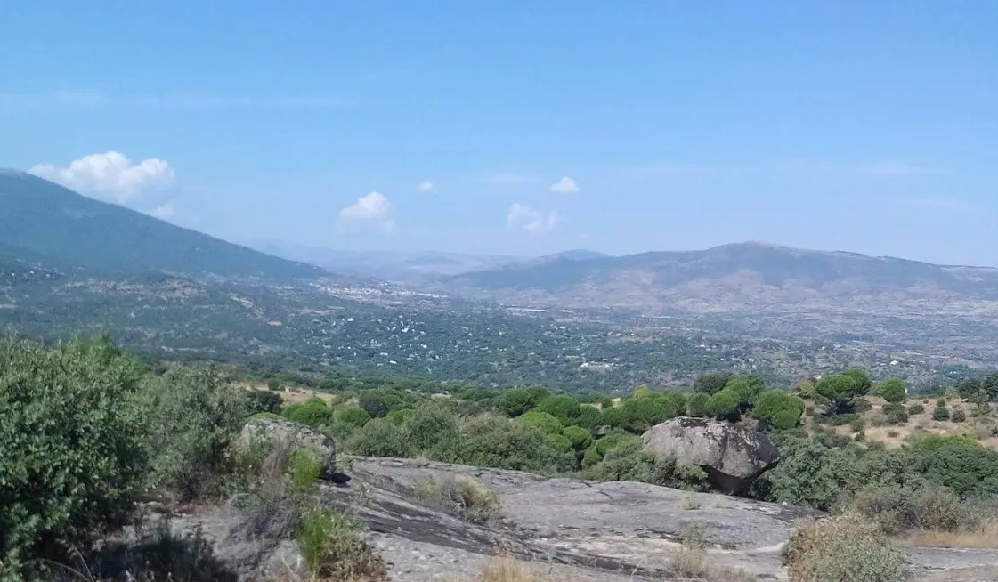
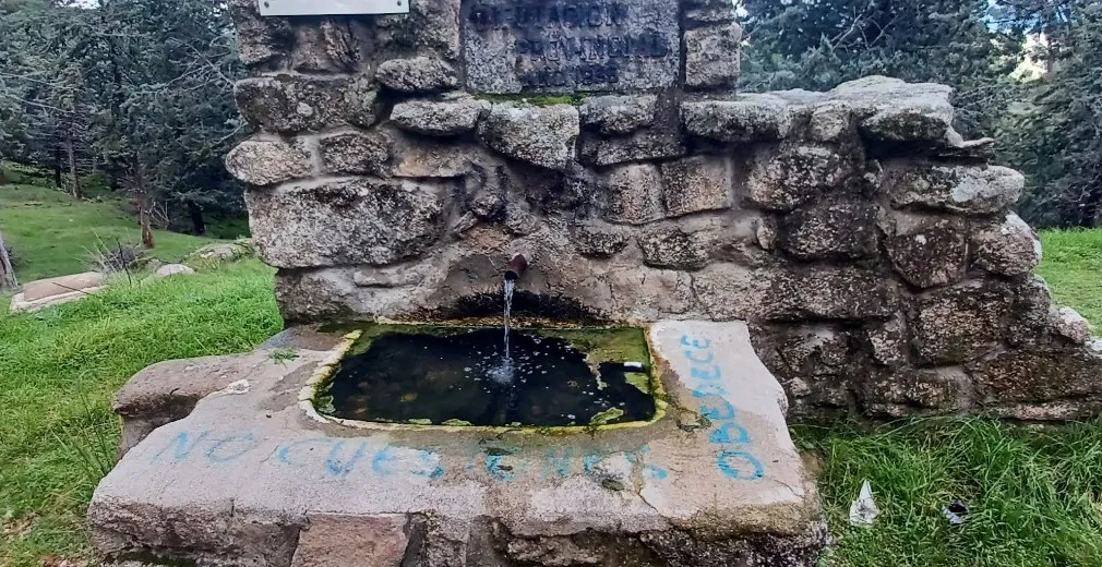
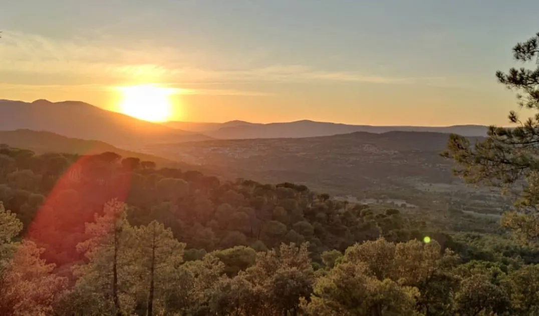
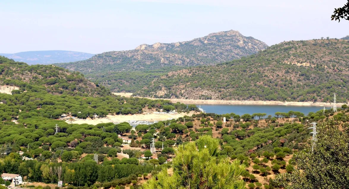
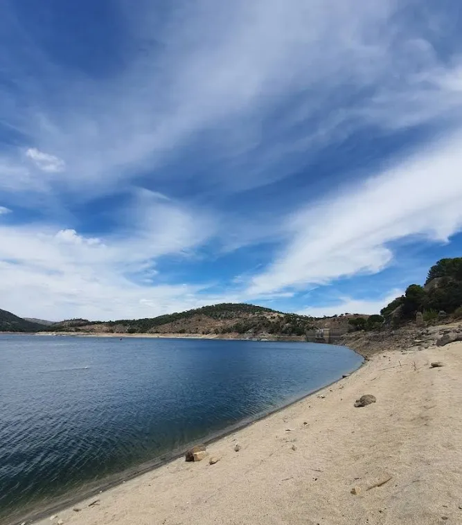
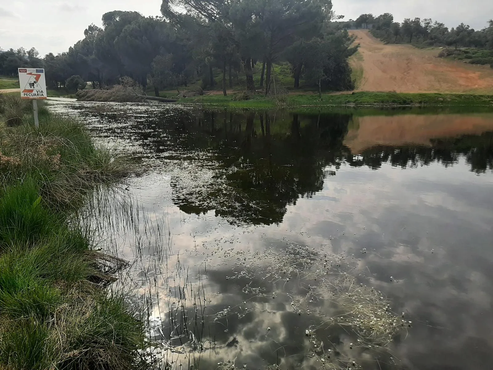
As the urban center is left behind, the route enters a mosaic of pine forests, oak groves, and open areas, with wide views of the Sierra Oeste. One of the most unique points of the route is the Charcas de Marrache, small water formations that bring freshness to the landscape, especially in wet seasons.

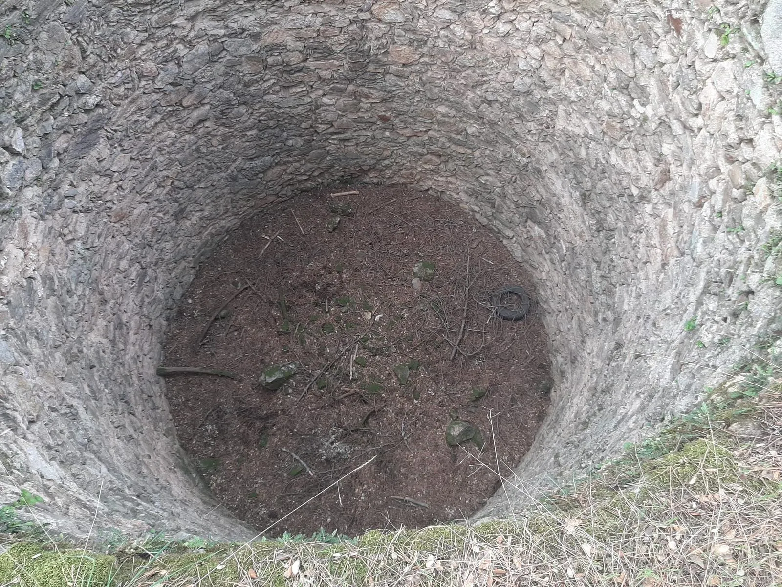
The itinerary continues towards the Pozo de las Nieves, a traditional element linked to snow storage in past times, which adds an interesting historical component to the route.

The profile is varied, with gentle climbs and more comfortable sections, making it accessible for cyclists with some experience. It is a perfect route for those seeking nature, tranquility, and to discover less-traveled corners.

It is recommended to carry enough water and pay attention to the track sections, which may present irregular surfaces at some points.

Types of paths:

  • Path: 21.5 km
  • Street: 3.75 km
  • Road: 3.06 km

touch_app
Toca para interactuar Usa dos dedos para hacer scroll

Mapa interactivo proporcionado por

Wikiloc open_in_new

Route gallery

Moments captured by our community.

Charcas de Marrache Route, Pozo las Nieves - Image 1
Featured Charcas de Marrache Route, Pozo las Nieves
Charcas de Marrache Route, Pozo las Nieves - Image 2
Charcas de Marrache Route, Pozo las Nieves
Charcas de Marrache Route, Pozo las Nieves - Image 3
Charcas de Marrache Route, Pozo las Nieves

Points of interest on the route

Discover unique places to stop and enjoy.

Pelayos Monastery (Santa María la Real de Valdeiglesias) castle Edificio

Pelayos Monastery (Santa María la Real de Valdeiglesias)

It is an impressive monastic complex of medieval origin, founded in the 12th century and surrounded by a privileged natural environment. Its stone walls and well-preserved ruins evoke centuries of history linked to the Cistercian order.

Pelayos Observation Point forest Naturaleza

Pelayos Observation Point

It is perfect for amateur and professional astronomers looking for a place away from the city lights.

San Blas Chapel castle Edificio

San Blas Chapel

In 1993, the Tagus River Basin Authority transferred the Hermitage to the Brotherhood of San Blas, and since then, the Pilgrimage in honor of our patron has been held on the last Saturday of May.

Valdenoches Stream Source water_drop Agua

Valdenoches Stream Source

Small natural spring located in a tranquil setting, associated with the course of the stream, which offers a resting and refreshing point along the route.

San Juan Reservoir water_drop Agua

San Juan Reservoir

Located between San Martín de Valdeiglesias and Pelayos de la Presa, this reservoir stands out for its large water areas, its sandy beaches, and its surroundings surrounded by pine forests.

Marta's Viewpoint forest Naturaleza

Marta's Viewpoint

Elevated point with open views of the natural environment of the Sierra Oeste, ideal for taking a break and enjoying the landscape.

Viewpoint of Count Martín place Otro

Viewpoint of Count Martín

It is a natural space that remains intact, where stone and native vegetation are part of the landscape. Located on a small elevation, it allows for a wide view of valleys, pine forests, and water.

Playa del Muro water_drop Agua

Playa del Muro

The Playa del Muro is a quiet area of the San Juan Reservoir, perfect for swimming, relaxing, and enjoying the natural surroundings during the route.